
Our oceans and waterways are polluted with a variety of marine debris, ranging from soda cans and plastic bags to derelict fishing gear and abandoned vessels. This marine debris, also known as marine litter, is a global problem that injures and kills marine life, threatens the environment, navigation safety, coastal economies, and, potentially, human health.
Detecting and identifying debris quickly and accurately is key to cleanup and response actions that can prevent these adverse impacts. Researchers are developing a drone-based, machine learning system to detect and identify marine debris along the coast. The Marine Debris Program – led by researchers from Oregon State University, along with the National Oceanic and Atmospheric Administration (NOAA)’s National Centers for Coastal Ocean Science – began in June 2020 and will end on May 31, 2022.
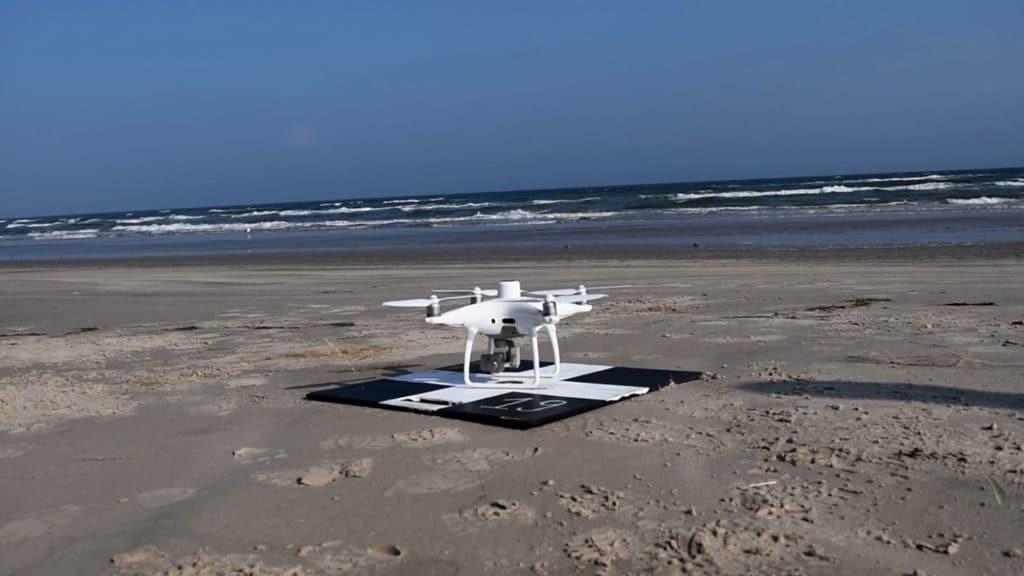
The artificially intelligent drones can be used to rapidly respond to severe debris events, such as hurricanes and tsunamis, to acquire high-resolution imagery over the targeted coastline, and to access areas that are inaccessible by foot or small boat. The drone uses a polarimetric camera to capture images that are fed into a machine-learning computer program to find and classify the debris in the imagery collected.
The algorithms spot and classify synthetic-material objects based on the distinctive manner in which they reflect polarized light. Polarized light reflected from human-made objects often differs from natural objects, such as vegetation, soil, and rocks.
The researchers tested such a camera, both on the ground and from a US Coast Guard helicopter, which was flying at the altitude at which the polarimetric-camera-equipped drones will fly.
Once fully operational, data collected by the drone-based machine learning system will be used to make maps that show where marine debris is concentrated along the coast to guide rapid response and removal efforts. The researchers will provide NOAA Marine Debris Program staff with training in the use of the new system, along with standard operating procedures manual.