
Global navigation satellite systems (GNSS) – such as the US GPS and EU Galileo – are widely used for navigation and time distribution. However, these systems that rely on satellites have their limitations and vulnerabilities. Their radio signals are weak when received on Earth, and accurate positioning is no longer possible if the radio signals are reflected or blocked by buildings.
Researchers of the Delft University of Technology, Vrije Universiteit Amsterdam, and VSL have come up with an alternative approach to navigation that they say is both more robust and accurate than GPS, especially in urban settings. Called SuperGPS, the hybrid positioning system combines wireless and optical connections to pinpoint locations within centimeters.
The SuperGPS project aims to provide both an alternative positioning system, which could work in the face of a GPS outage, and to address the issue of poor accuracy in urban canyons due to weak satellite signals bouncing between buildings.
“We realized that with a few cutting-edge innovations, the telecommunication network could be transformed into a very accurate alternative positioning system that is independent of GPS,” says Jeroen Koelemeij of Vrije Universiteit Amsterdam. “We have succeeded and have successfully developed a system that can provide connectivity just like existing mobile, and Wi-Fi networks do, as well as accurate positioning and time distribution like GPS.”
One of these innovations is to connect the mobile network to a very accurate atomic clock so that it can broadcast perfectly timed messages for positioning, just like GPS satellites do with the help of the atomic clocks they carry on board. These connections are made through the existing fiber optic network. In addition, the system employs radio signals with a bandwidth much larger than commonly used.
“We had already been investigating techniques to distribute the national time produced by our atomic clocks to users elsewhere through the telecommunication network,” says Erik Dierikx of VSL. “With these techniques, we can turn the network into a nationwide distributed atomic clock – with many new applications such as very accurate positioning through mobile networks.”
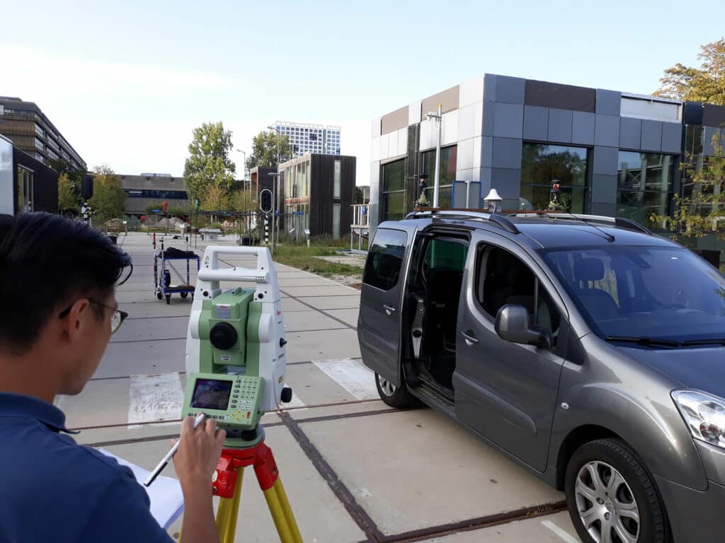
The working prototype that demonstrated this new mobile network infrastructure achieved an accuracy of 10 centimeters. This new technology is important for the implementation of a range of location-based applications, including automated vehicles, quantum communication, and next-generation mobile communication systems.
‘This work provides a glimpse of a future in which telecommunication networks provide not only connectivity but also GNSS-independent timing and positioning services with unprecedented accuracy and reliability’ researchers conclude in their paper.
Journal reference:
- Jeroen C. J. Koelemeij, Han Dun, Cherif E. V. Diouf, Erik F. Dierikx, Gerard J. M. Janssen and Christian C. J. M. Tiberius. A hybrid optical–wireless network for decimetre-level terrestrial positioning. Nature 611, 473–478 (2022). DOI: 10.1038/s41586-022-05315-7