
Floating macro litter, once it has reached the sea, can have a long-term residence in the surface waters, which is a threat to the conservation of marine ecosystems worldwide.
Now, researchers at the Faculty of Biology and the Biodiversity Research Institute of the University of Barcelona (IRBio) have designed an artificial intelligence software that can detect and qualify marine plastics through aerial photography. Called MARLIT, it is an open-access web app based on an algorithm designed with deep learning techniques that will enable the detection and quantification of floating plastics in the sea with reliability over 80%.
Researchers have explained that the largest density of floating litter is found in the great ocean gyres of the planet, but large polluting debris is abundant in coastal waters and semi-enclosed seas such as the Mediterranean.
To develop the algorithm, the researchers analyzed, through artificial intelligence techniques, more than 3,800 aerial images of the Mediterranean coast of Catalonia taken during drone and aircraft surveys. As reported by the university, this methodology will allow researchers to make progress in the assessment of the presence, density, and distribution of plastic pollutants in the seas and oceans worldwide.
“Automatic aerial photography techniques combined with analytical algorithms are more efficient protocols for the control and study of this kind of pollutants“, notes team member Odei Garcia-Garin. “However, automated remote sensing of these materials is at an early stage. There are several factors in the ocean (waves, wind, clouds, etc.) that harden the detection of floating litter automatically with the aerial images of the marine surface. This is why there are only a few studies that made an effort to work on algorithms to apply to this new research context“.
The new algorithm that the team has designed has been based on deep learning techniques, a machine learning methodology with artificial neural networks able to learn and take the learning to higher levels.
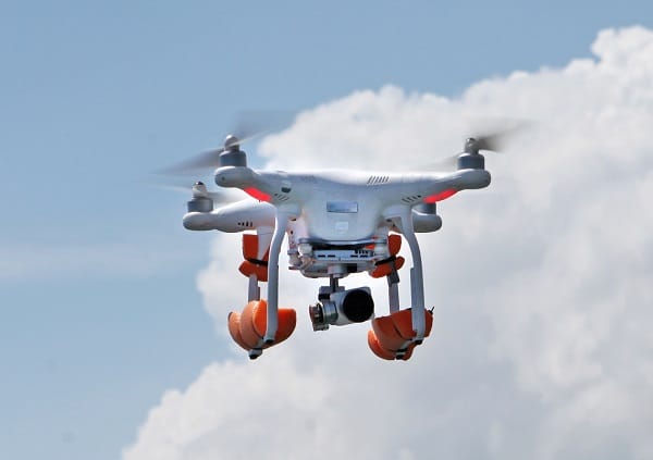
MARLIT can analyze images individually, divide them into several segments, identify the presence of floating litter in each certain area, and estimate their density with the image metadata. In the future, the team expects to adapt the app to a remote sensor (for instance, a drone) to automate the remote sensing process.